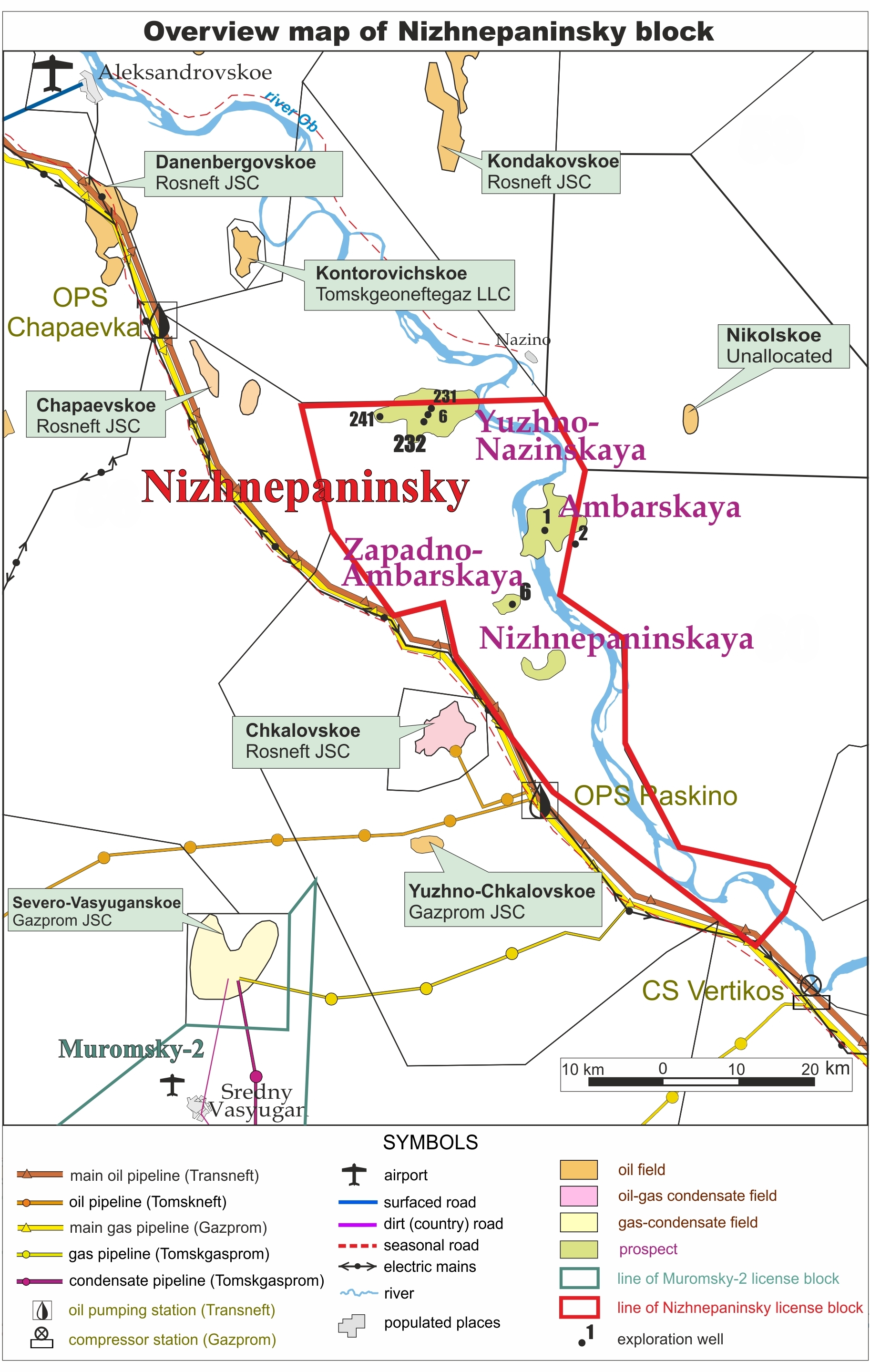
Nizhnepaninsky block
Area: 1,533.3 square kilometers
2D seismic survey: about 470 line kilometers vintage seismic and 618 line kilometers new seismic
State balance: 31.3 million tonnes C3 recourses (Russian classification)
Prospects: Ambarskaya, Yuzhno-Nazinskaya and Nizhnepaninskaya structures, Paninskaya and Gusinaya stratigraphic traps
The license area Nizhnepaninsky is situated along the river Ob in the northwest part of the Tomsk region and has a total area of 1,533.3 square kilometers. Just outside the southwest border of the license area a main export oil pipeline is located owned by the state company Transneft. Power lines also run parallel to this pipeline.
In 1960-1980 during the Soviet Union times, exploration drilling and 2D seismic surveys were performed. In winter 2010/2011 Petrogrand carried out a further 618 line kilometers of 2D seismic surveys using modern techniques. Interpretation of the new seismic data, coupled with interpretation and analysis of vintage seismic data and well logs were used to determine the locations of exploration wells on Yuzhno-Nazinskaya and Zapadno-Ambarskaya structures.
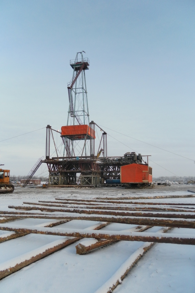
In 2012 two exploration wells were drilled. Testing of the wells has confirmed the presence of oil-bearing layers in Cretaceous and Jurassic formations. Vertical seismic profiling has also been conducted.
At the end of 2012 re-processing and re-interpretation of 2D seismic data has been completed and all the geological information has been reevaluated. Ambarskaya structure is recommended for exploration drilling based on the results. Area of the structure is about 50 km2. C3 recourses amount 16.5 million tonnes (approx. 120.4 million barrels). It has been recommended to locate the exploration well in the eastern part of the structure, and drill to a depth of about 2,600 meters. Expected oil reserves amount to 4.1 million tonnes (approx. 29.9 million barrels).