Muromsky-2
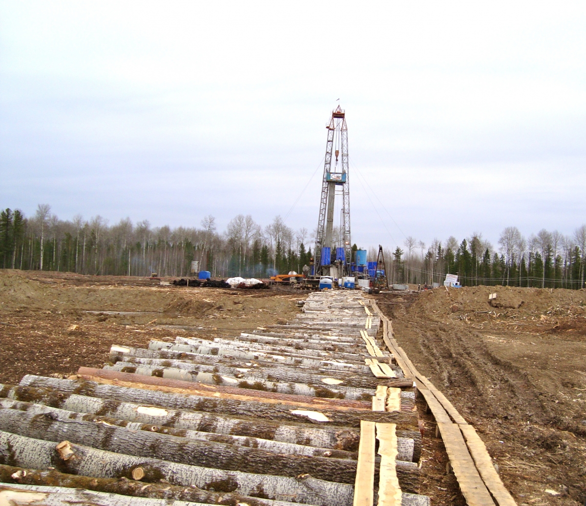
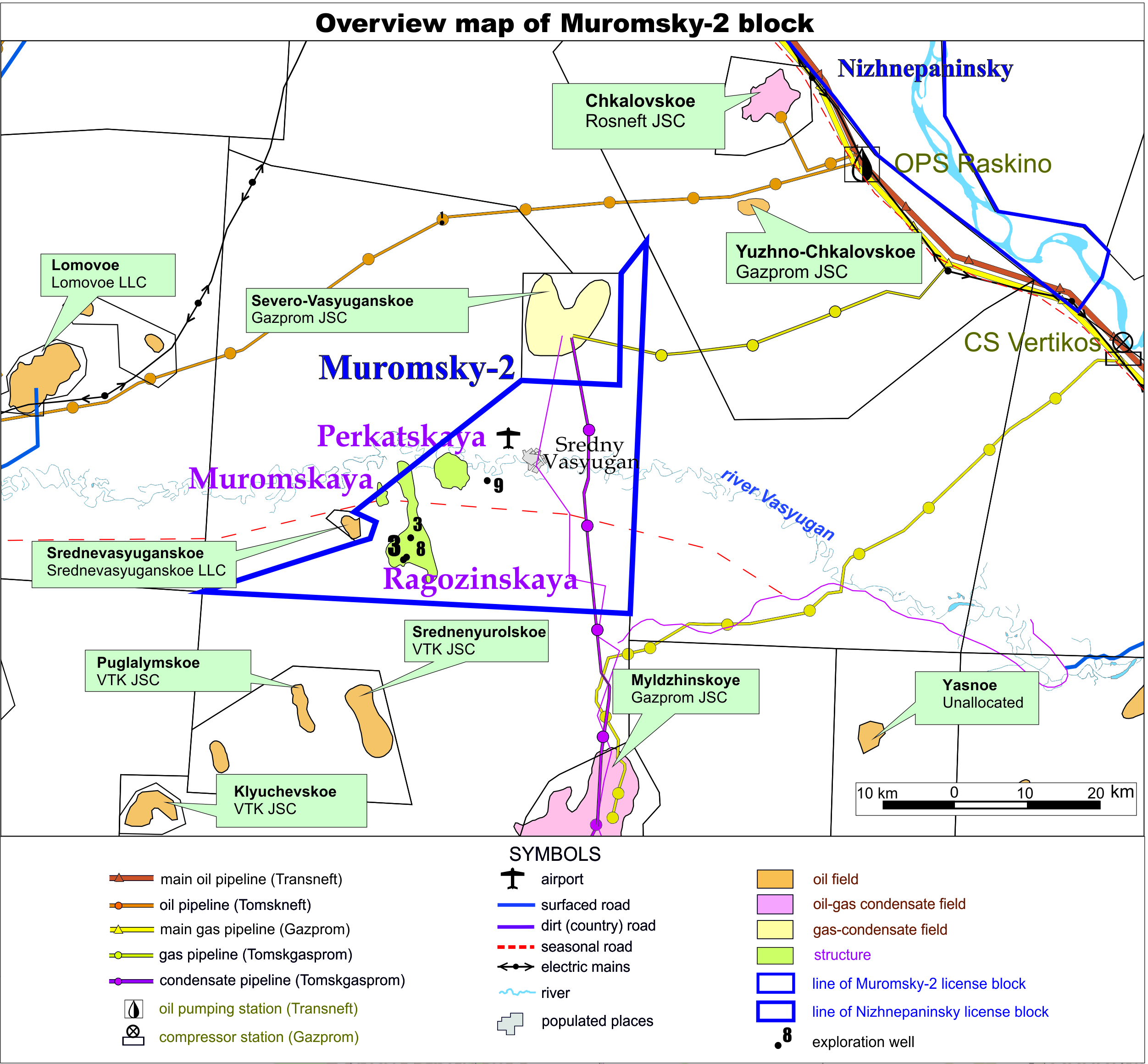
The license area Muromsky-2 is situated in the northwest part of the Tomsk region, 500 kilometers from Tomsk and 170 kilometers from the town of Strezhevoy. A field gas pipeline (Tomskgazprom) passes through the license area and a field oil pipeline passes northwest of the license area (Tomskneft). The main export oil and gas pipelines are located 30 kilometers east of the license area. During the Soviet Union times, exploration drilling and 2D seismic surveys were performed. The information received indicated prospective oil and gas bearing areas. Based on this data in 2012 Petrogrand has located exploration well Ragozinskaya N3. The well was drilled to the depth 2588 meters and reached the Paleozoic formation. Testing has confirmed the presence of good reservoir in Jurassic and Paleozoic formations. At the beginning of 2012 Petrogrand performed 2D seismic work totaling 354 line km on the block and undertook a detailed geological data. The new prospect has been identified and is named. Perkatskaya, which has an areal extent of 25 km2. C3 recourses amount to 14.7 million tonnes (approx. 107.3 million barrels). It has been recommended to locate the exploration well in the crest of the structure, drilling the well to a depth of around 2,700 meters. The expected oil reserves amount to 2.9 million tonnes (approx. 21.2 million barrels). |
 |